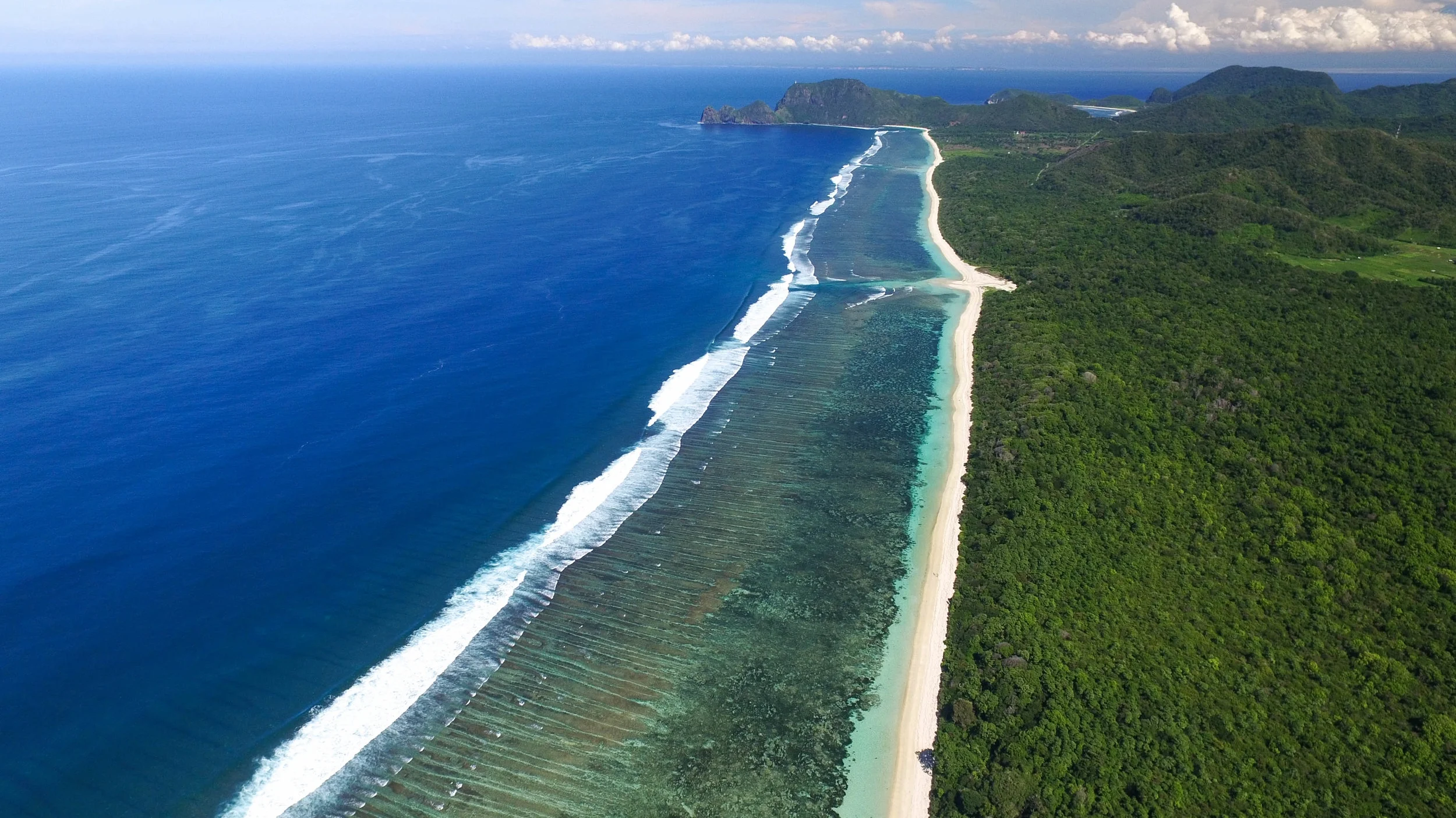
I am a marine ecologist using geoinformatics tools to map and create spatial information to strengthen the application of ecosystem-based management.
I equip people with the tools and skills to create holistic information and build partnerships to develop effective solutions for managing our environment.
Marine Spatial Information Solutions provides environmental mapping, analysis and planning services as well as practical training courses in the use of geoinformatics, drone technologies as well as participatory mapping and data collection strategies.
I aim to strengthen the capacity of non-profits, the public sector, community groups, small businesses and scientists to leverage technology to work together and play a part in environmental management.
TAKE A COURSE
Ready to to build your technological skills? Learn with my training courses.


