If we build a shared understanding of the importance of our marine resources, we can create a vision for our future
MSP Strategically Improves Decision-Making & Delivers an Ecosystem Approach to Managing Activities
The application of a comprehensive strategy using multiple sources of information to address complex socio-ecological problems is essential for effective Marine Spatial Planning (MSP). Unfortunately, many countries lack the capacity at the national level to provide practical support for an ecosystem approach to marine resource management. Therefore, interventions targeted toward building and enhancing networking and linkages are needed to strengthen marine governance.
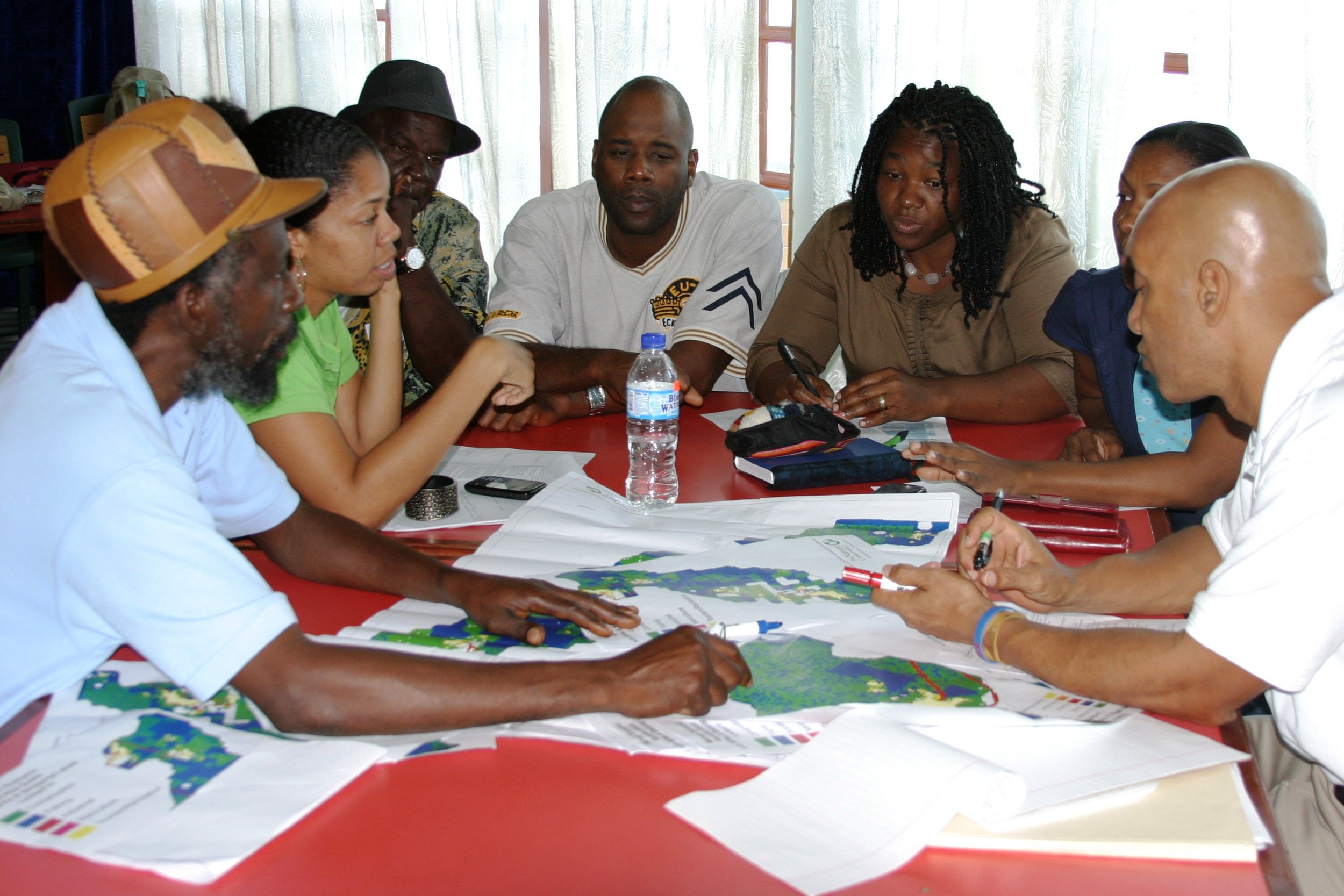
MSP requires ecosystem-based information from multiple sectors to be represented in an accessible format to improve user understanding and involvement in decision-making
MSP uses PGIS as a tool to
Integrate & visualize information
Map habitat, resources and space-uses
Engage stakeholders
Make information understandable & accessible
Develop scenarios & evaluate trade-offs in decision-making
MarSIS provides holistic solutions to support collaborative planning initiatives. Dr. Kimberly Baldwin is a leading expert in MSP. Her unique application of PGIS and innovative collaborative mixed method approaches have been successfully applied across the Caribbean.
Marine Spatial Planning in the Caribbean
scaling information from a Bay, island, country to the region and beyond...
Click on any of the following zoning designs to download the full MSP report!
Watch a video on the Grenadines Marine Spatial Planning Project (2010-12).
“Applying a participatory framework and mixed methods approach allows for the collaborative development of locally relevant information for MSP initiatives. This process engages users through two-way learning and ultimately strengthens their participation in management.”


